Ut313
Island in the Sky Rd s(u)
Highest Point: 6184ft
|
Southern
Approach: pvd Ut313
|
|
|
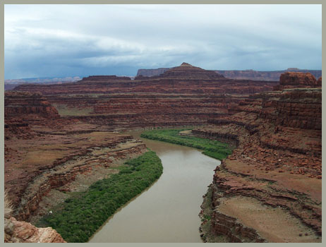
drop |
| from Colorado
Bridge north of Moab (3960ft) |
2224ft |
23miles |
~100ft
|
| from jct US191 -
Ut313 (4500ft) |
1684ft |
14+1/2miles |
|
Western
Approach: pvd Ut313
|
|
|
|
| from low point east
of Upheaval Dome picnic area
(5640ft) |
544ft |
18miles |
~400ft
|
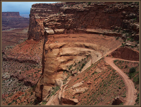
Northern
Approach: via Shafer Trail
|
|
|
|
| from end of Ut279
in Potash (3960ft) |
2224ft |
25+1/2miles |
~700ft
|
jct with White Rim
Trail (4470ft)
|
1714ft
|
11miles
|
|
Eastern
Approach: via Long Canyon
|
|
|
|
from jct Long
Canyon - Ut279 north of Potash
(3960ft)
|
2224ft
|
6+1/2miles
|
|