< Left Panel
Utah Summits and Passes
Areas
Tables
Maps
All Favorites
Main Panel:
Main Page
Map+Profile
Utah Map
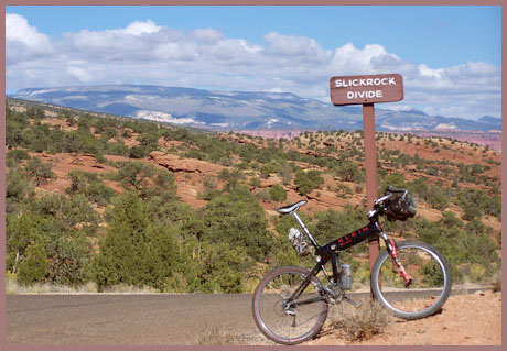
Slickrock Divide
Highest Point:
5990ft
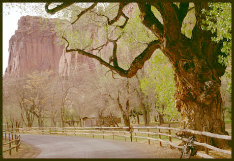
Northern Approach:
drop
from Capitol Reef MN visitor center (5490ft)
500ft
6miles
~200ft
Southern Approach:
from (ft) Golden Throne - Capitol Wash trailhead (5650ft)
340ft
2miles