Meadow
Gulch Divide
aka Salina Canyon summit(u), Emigrant
Pass
Highest Point: 7910ft
|
| Western Approach: |
|
|
drop |
| from downtown Salina (5160ft) |
2750ft |
28+1/2miles |
~400ft
|
| from junction with Gooseberry
Valley road (5750ft) |
2160ft |
20+1/2miles |
~300ft
|
| Eastern Approach: |
|
|
|
| from BLM land
interchange (5690ft) |
2220ft |
16+1/2miles |
~200ft
|
| from Fremont Junction
(6520ft) |
1390ft |
8miles |
|
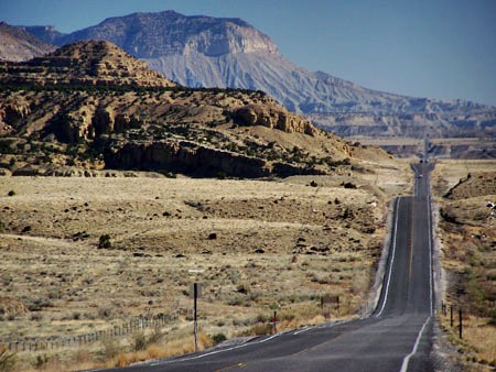
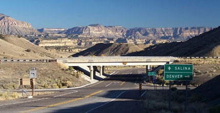
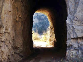
Pictures:
first two pictures taken on Ut10 between
Fremont Jct and Emery, which is an alternate
to the lower approach shown in the profile.
|
|
|
|