< Left Panel
Utah Summits and Passes
Areas
Tables
Maps
All Favorites
Main Panel:
Main Page
Map+Profile
Utah Map
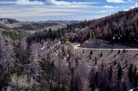
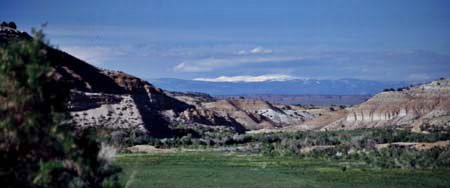
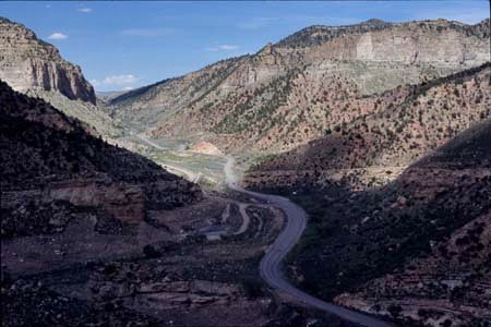
Indian Canyon Summit
(Summary)
Highest Point:
9200ft
Northern Approach:
from Duchesne (5500ft)
3700ft
28miles
Southern Approach:
from Helper (5860ft)
3340ft
23+1/2miles
from junction Price Canyon, US191 (6080ft)
3120ft
21miles