Blue
Notch Rd s(u)
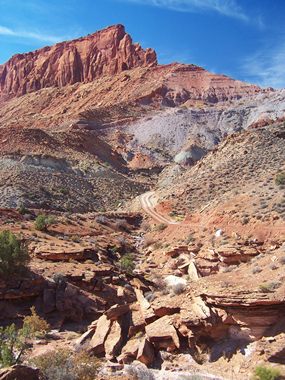
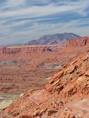
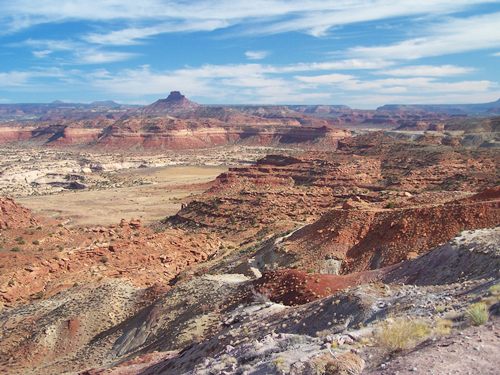
Highest Point: 5360ft
|
| Northern
Approach: |
|
|
drop |
| from Ut95
crossing of White Canyon,
south of Hite (4090ft) |
1270ft |
8miles |
|
| from jct CR2064
- Ut95 (4700ft) |
660ft |
2+1/2miles |
|
| Southern
Approach: |
|
|
|
| from road end
at Lake Powell (3720ft) |
1640ft |
10miles |
~200ft
|