| |
| |
FR150 California Park -
Slater s(u)
In this northern part of
Colorado, the word "treeline" has the opposite
implication of what you might expect:. Below are
expanisve, sweeping grassy surfaces with great
views on the surrounding mountains and plateaus.
Above the road runs through a dense forest to the
summit.
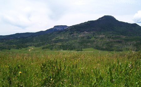
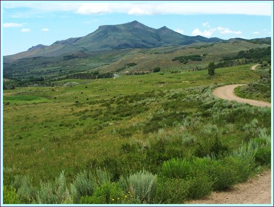
Approaches From South. The
profile descends FR150 to yet another park, and
its flowing grassy surfaces: Slater Park. This
road follows the Great Divide Bicycle touring
route. A long sequence of rolling surfaces
eventually lead down to the junction with Wy70.
During my ride the traffic consists of heavy,
rumbling and mooing cow transport trucks, their
smell usually lingering after their passage; about
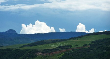
one every half hour on average. Looking back the
clouds hang over the ridge separating me from
California Park, like the froth on a pot that is
boiling over. A Dayride with this point as intermediate summit is on page: FR150 Hayden - California Park
|
|
|
advertisement |
|
|
advertisement |