< Left Panel   Colorado Summits and Passes   Areas   Tables   Maps   All Favorites  
Main Panel:   Main Page   Map+Profile   Colorado Map  


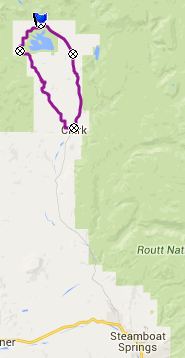
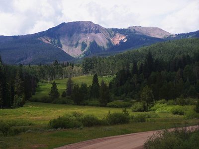
CR62 Steamboat Lake(sh)


This little shoulder summit combines an unpaved road used in the Great Divide bike route with the main paved road up Columbine Pass from Steamboat Springs. It reaches its highest point on the north side of Steamboat Lake.


1.(mile00.0,7280ft)START-END SOUTH: jct CR129 - CR62, near Clark
2.(mile08.3,8090ft)CR42 and Great Divide bike route takes off on left
3.(mile10.8,8190ft)TOP
4.(mile11.6,8120ft)profile turns right onto CR129
5.(mile14.9,8000ft)settlement: Hahn's Peak Basin
6.(mile20.5,7300ft)START-END SOUTH 2: same as point1, jct CR129 - CR62

Approaches

From West 
CR62 turns away from CR129 in Glen Eden. The unpaved road slowly rises above a ravine. On the west side are Picket Mountain, Saddle Mountain and Sand Mountain, bordered by a few cliffs. Just when reaching Steamboat Lake on the west side, CR42 and the route followed by the Great Divide bike route takes off to the left, direction FR42 Mill Creek Rd s(u). For CR62 the nicest views are still ahead as it makes its way around the north side of the lake. It reaches its highest point a short distance before joining CR129

From East. (described downwards) A short section of the road coming down from Columbine Pass has a shoulder for the first part. Approaching Glen Eden it gets narrower.


Dayride with this point as highest summit:

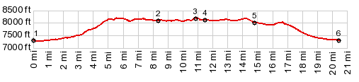
PARTIALLY PAVED / UNNPAVED

( < FR500 Red Dirt Park - Hog Park | FR42 Mill Creek rd s(u) > )
CR62 Steamboat Lake(sh) , addtional out and back : FR488, a short distance off CR129 > CR129 south > Glen Eden > CR62 north <> a few short out and backs to points along Steamboat Lake > CR62 Steamboat Lake(sh) > CR129 north > back to starting point on FR488: 29.0miles with 2190ft of climbing in 2:52hrs (Garmin etrex30 m5:15.6.15)
Notes: rest day
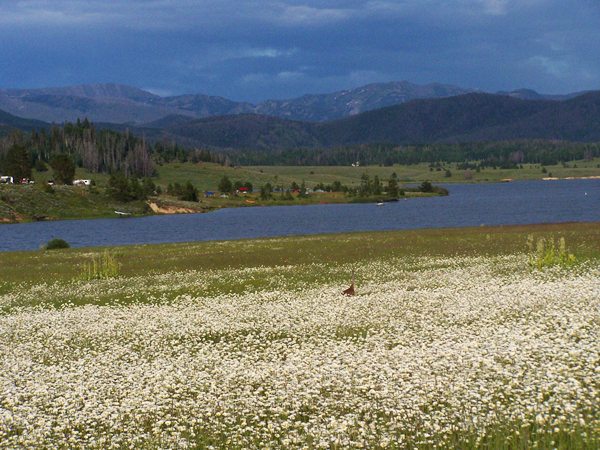
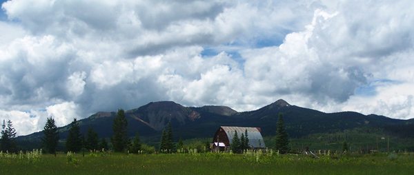


advertisement

advertisement