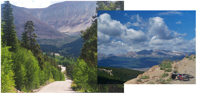
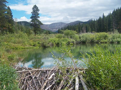
CR2 California Gulch s(u)
Highest Point: 11180ft
|
| Northern Approach: |
|
|
| from Leadville
Junction (jct CR9 - northern access
rd to Turquoise Reservoir) (9770ft) |
1410ft |
8+1/2miles |
| Southern Approach: |
|
|
| from Arkansas River
crossing of southern access road to
Turquoise Lake (9660ft) |
1520ft |
8miles |
|