|
Skyline
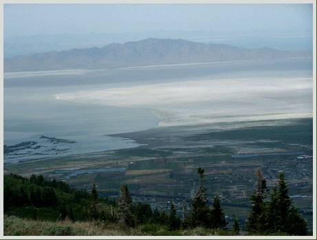
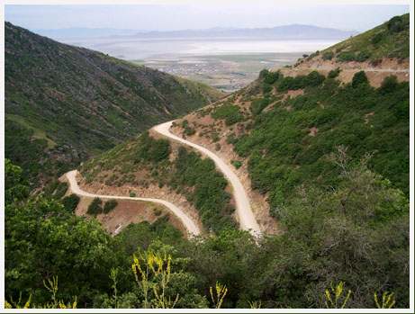
Drive - North: summit(u)
Highest Point: 9100ft
|
| Northern Approach: |
|
|
| from south-west end of Farmington
Creek bicycle trail (4260ft) |
4840ft |
13+1/2miles |
| from Farmington Canyon trailhead
(5290ft) |
3810ft |
10+1/2miles |
| Southern Approach: |
|
|
| from West Bountiful, 400 south -
Ut131 (4160ft) |
4940ft |
15miles |
| from Bountiful, Center - Main
(4390ft) |
4710ft |
13+1/2miles |
|
|
|